

Municipality of Alfonso Lista
Corn Granary of Ifugao

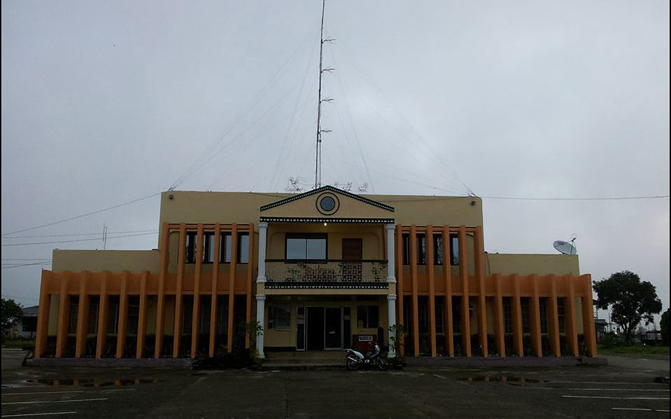
About Alfonso Lista
History and Government
Alfonso Lista has quite a history with respect to the names by which it was previously known and how it became part of Ifugao. The municipality was originally called “Mun-u-u-pag” by the early Ifugao settlers which means “bubbles of foam”. This may be due to the living animals that abound the place. As time went by, people observed that plants and flowers in the area opened their pods as they dried and cracked open. This phenomenon is called Putiak from which the name Potia was derived and which became the area's new name.
Its proximity to Isabela can easily mislead anyone into thinking that the municipality is part of Isabela, as it did due to President Sergio Osmeña, Sr., who, during the Commonwealth period, declared Potia a part of Marasat Grands (now known as San Mateo, Isabela). It did not take long for the Ifugao and Kalinga settlers in the area to express their disapproval of Potia's annexation to Isabela. Because of this, the affairs of the municipality were transferred to the municipality of Mayoyao, a municipality of the sub-province of Ifugao of the then old Mountain Province.
Potia remained a big barangay of Mayoyao until Congressman Luis Hora of the third district of Mountain Province went on an inspection of the town. He was so impressed by the initiative and enthusiasm of the people in the large barangay that he sponsored a bill transforming the area into a regular municipality of Ifugao. It was during that time that President Ramon Magsaysay appointed Alfonso Lista as the first municipal mayor on May 2, 1956.
On November 8, 1959, Congressman Gualberto Lumauig of Ifugao sponsored a bill changing the name of Potia to Lista (in honor of its first mayor) and confirming the seat of government which was later embodied in Republic Act No. 6687 approved on December 15, 1988.
The municipality's other leaders who succeeded Alfonso Lista are Jose Bayawon (1961-1969), Carlos Cattiling, Gabriel Chocyagan (1972-1979), Gaudencio Manuel (April-December 1979), Aloysius Lumauig (1980-1986), John Langbayan (1986-1987), Pio Himoldang (1987-1988), Benedict Lumauig (1988-1992), Aloysius Lumauig (1992-1995), Glenn Prudenciano (1995-2004) and Charles Cattiling (2004-2010). At present, the municipal mayor is Glenn Prudenciano who is serving his second term having been re-elected in the 2010 elections.
The municipality is presently subdivided into 20 barangays, namely: Bangar, Busilac, Calimag, Calupaan, Caragasan, Dolowog, Kiling, Laya, Little Tadian, Ngileb, Namnama, Namilangan, Old Poblacion(Potia), Pinto, San Jose, San Juan, San Marcos, San Quintin, Santa Maria(Poblacion) and Santo Domingo.
BARANGAY
POPULATION*
1
Bangar
461
2
Busilac
1,422
3
Calimag
623
4
Calupaan
798
5
Caragasan
1,595
6
Dolowog
604
7
Kiling
1,567
8
Laya
706
9
Little Tadian
1,216
10
Namnama
1,250
11
Namillangan
1,841
12
Ngileb
1,293
13
Pinto
2,951
14
Old Poblacion (Potia)
1,726
15
San Jose
1,002
16
San Juan
997
17
San Marcos
1,312
18
San Quintin
1,175
19
Santa Maria (Poblacion)
4,312
20
Santo Domingo (Cabicalan)
1,559
References:
* - 2010 NSO Census of Population
** - 2010 Partial Data from COMELEC
Its Land
The municipality is located in the easternmost part of Ifugao. It lies on a latitude 121°30 minutes north and longitude 17° east. It is bounded on the north by Mountain Province, on the east by the province of Isabela, on the south by the Magat River and on the west by the municipality of Aguinaldo.
Alfonso Lista has a total land area of 41,051 hectares of rolling terrain classified as follows: agricultural - 15,546 has., pastureland - 17,808 has., Forest Area - 7,305 has. and residential - 394 has. Among the municipality's barangay, Pinto has the largest land area with 3,308 has. while Bangar has the smallest land area with 244 has.
Topography of the municipality is characterized by scattered narrow valleys between hills and mountains. The relief varies from level to moderately sloping. Low rolling hills to mountainous areas have slight to severe direction of gullies, creeks and streams.
Its climate falls under Type III using the Coronas Classification. Climate is relatively dry from November to April and wet for the rest of year. Rainfall is highest in November and lowest in February. Typhoon occurrence is occasional and low in intensity due to the fact that the municipality is found outside of the typhoon belt.
As to natural resources, one of its resources is its bodies of water. One of the rivers, located south of the municipality, is the Magat River which feeds the Magat Dam. The river, which is sand and gravel sources, is shared by the municipality with the province of Isabela. Other rivers include the Dolowog and Killing Creeks which run through several of the municipality's barangays. As to minerals, coal deposits have been discovered in San Jose, San Marcos and Caragasan while gold is reportedly present in the area.
Its Inhabitants
As of 1995, the municipality has a total population of 17,552, a total number of households of 3,502 with an average household size of 5.01 and a population growth rate of 3.23% based on the years 1990-1995.
Majority of the inhabitants of the municipality are Ilocanos and Ifugaos. Other ethnic groups are Tagalogs, Pangasinenses, Bontocs, Gaddangs, Davaoeños, Kalingas, Warays, and Bicolanos.
The people in the municipality are predominantly Roman Catholics at 70% of the populace. The remaining 30% is composed of other religious groups such as Protestants, Iglesia ni Cristo, Jehovah’s Witnesses and Crusaders.
Its Economy
The municipality is predominantly dependent on agriculture. Farming is the main occupation of the populace and the main agricultural crops are corn, tobacco, peanuts, gabi, banana and vegetables such as squash, beans, cabbage, ampalaya and others.
The irrigation of the farmlands in the municipality comes from four sources, namely: the National Irrigation Administration, 4 communal irrigation systems constructed by the Farmer’s Associations, 20 pumps, and mountain springs.
One of the major industries of the municipality is tilapia culture done through floating net cages. About 120 families own fish cages located at the Magat Dam Reservoir and Erosion Control Site.
Tourist Attraction and Place of Interest
-
Magat Dam
REFERENCE:
CORDILLERA ALMANAC
By: DILG-CAR, Copyright 1999
Vol. I - Local Government Units
Source: http://www.dilgcar.com/index.php/lgu/car-profile/ifugao/alfonso-lista-potia